June 28, 2022
It’s difficult to make it through a single day without being reminded of the Godzilla-sized public health problems menacing American cities. Climate change means coastal cities must contend with rising sea levels, while traffic fatalities consistently rank as the leading cause of death of Americans 5 to 24, and, of course, cities everywhere have had to mount responses to the COVID-19 pandemic.
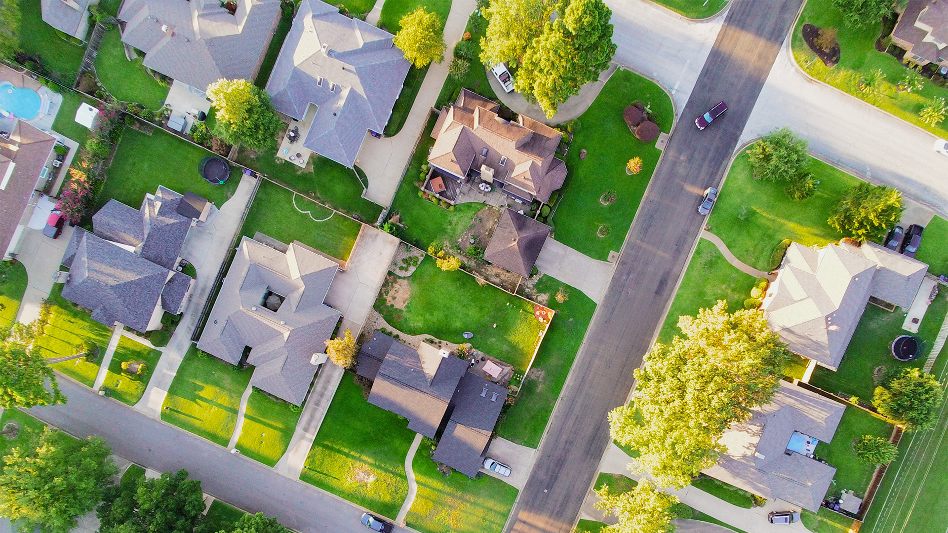
Transportation infrastructure-both the presence and absence of it-can exacerbate a city’s public health problems, which already tend to intersect with and compound one another: a neighborhood’s limited access to transportation options can maroon residents in food deserts, increasing rates of obesity and other health ailments, or otherwise require residents to access food by car, which in turn contributes to congestion, increased traffic fatalities and rising carbon emission levels. The entangled nature of these problems can make them seem intractable to society-together, they start to look simply too big to solve.
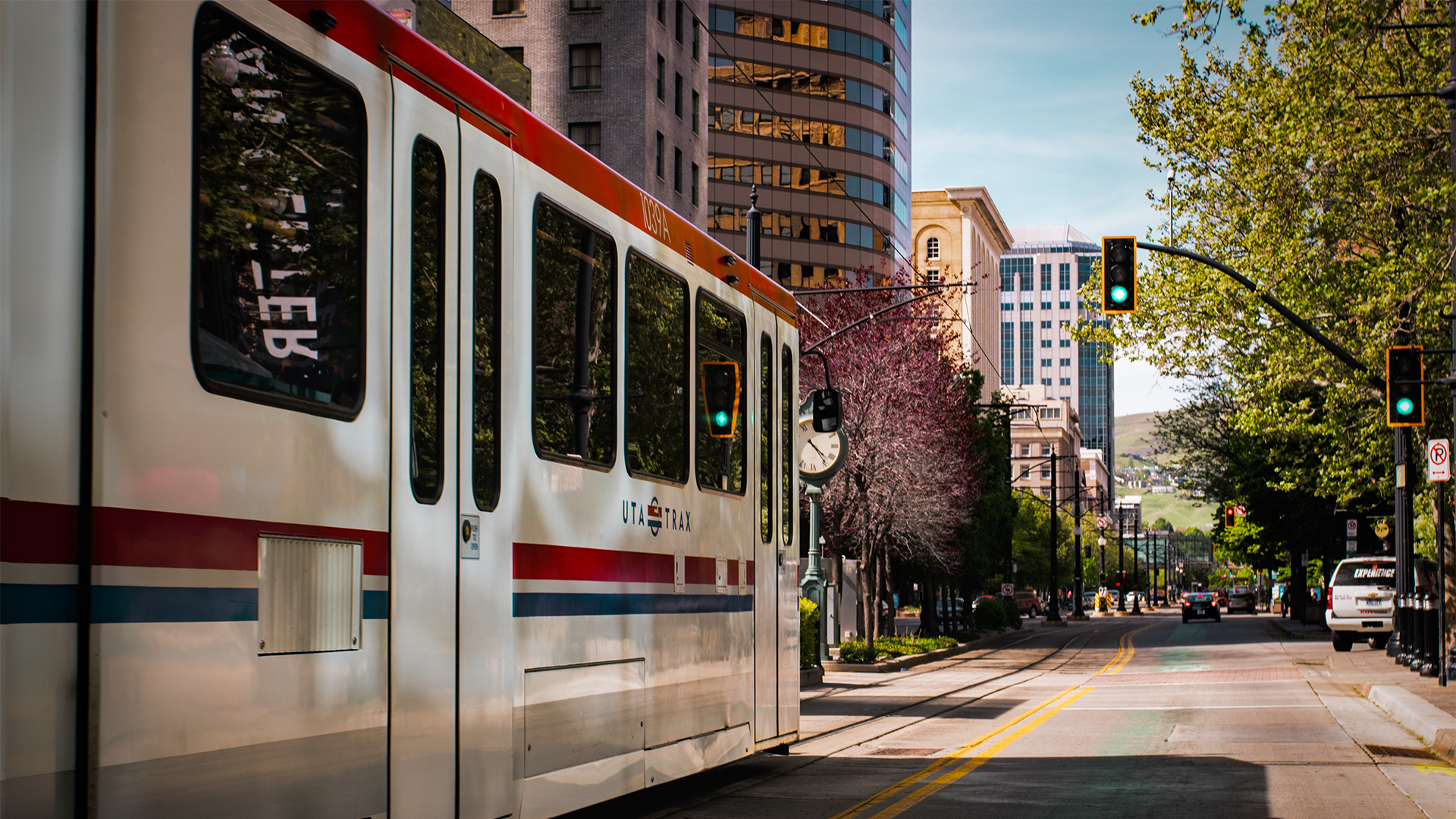
But if our existing transportation habits aggravate these big public health issues, then changing those habits can help to mitigate them. Active transportation (which includes modes like walking, bicycling, and using public transportation) can redress public health concerns from several angles, improving in tandem the physical and mental health of users, as well as wider community sustainability.
Implementing green infrastructure that effectively addresses public health issues will require a reckoning with how we have historically invested in our communities, as well as a sweeping reassessment of how we conceptualize transportation as a service. Finally, we need to implement our solutions methodically; a knot this complex can only be unraveled one strand at a time.
Across our cities, practices like redlining and strategic highway construction have concentrated people of color into neighborhoods that were then, because of those practices, deemed unsuitable for transportation investment. Communities that lack ready access to public transit also tend to suffer disproportionately from other public health problems.
Taking the Long View
One of the first steps to reconfiguring transportation to better public health is to recognize that access to America’s existing transportation infrastructure is inequitable. Across our cities, practices like redlining and strategic highway construction have concentrated people of color into neighborhoods that were then, because of those practices, deemed unsuitable for transportation investment. Communities that lack ready access to public transit also tend to suffer disproportionately from other public health problems, like poverty, illiteracy, food scarcity, traffic deaths (especially to pedestrians), and exposure to pollutants.
Among ongoing projects at Kittelson, we’ve pulled data from multiple sources in Bend, Ore., including census records, school free-lunch records, and ESL enrollments, and compared these documents against historical transportation investments to see where correlations exist. Several similar studies have been done in cities like Raleigh, N.C., and Oakland, Calif.
These correlations can help us understand how to best direct investments towards underserved communities. For instance, Kittelson is currently working with a health clinic in Raleigh, N.C., to assess location data for resident lifestyle patterns. By assessing the routes area residents take to go to work or recreate, we can determine where along these routes gaps in health infrastructure occur. Once these gaps have been identified, we can better determine where infrastructure development would have the highest impact. This project demonstrates how deeply issues of marginalized communities and poor quality transportation infrastructure are entwined.

Many cities host Open Streets events, cordoning off sections of road so pedestrians can better acclimate to them. These events offer low-stress, car-free opportunities for residents who want to try commuting by bike and also serve as points of access between the city and residents, providing an opportunity for cities to solicit feedback.
From Big Picture to Little Details
If gathering data and using historical records constitutes a “zooming out” to identify which areas are in greatest need of mitigation, then actually providing relief to those areas requires planners to engage with communities on the street level-to zoom back in. What changes must occur at every block to ensure residents will have their basic health needs met? Are there sufficient, safe, and comfortable street crossings? Are there shaded places along the sidewalk to rest or cool down on a hot day? Additionally, many sidewalks are only technically ADA-compliant; in practice, utility poles and other impediments can narrow pavement width, posing practical difficulties for users with physical disabilities. Fieldwork provides essential insights into making streets truly “complete” and available to all users.
A few examples of programs and projects working to improve public health at street level include:
- Boston’s Neighborhood Slow Streets program is working to implement traffic-calming treatments at targeted intersections that pose high-risk to people walking.
- Many cities also host Open Streets events, cordoning off sections of road so pedestrians can better acclimate to them. These events offer low-stress, car-free opportunities for residents who might want to commute by bicycle but have felt too nervous to make their first attempt during a rush hour. The events also serve as points of access between the city and residents, providing an opportunity for cities to solicit feedback on road operations and for residents to provide it.
- In Anacostia, a southeastern, predominantly Black neighborhood of Washington, D.C., we’ve also been at work improving access and safety at MLK and Good Hope Rd, one of the district’s most dangerous intersections. We’re currently working to identify quick-build opportunities that will provide immediate relief to the area, as well as long-term changes to the intersection.
In their own ways, these efforts each facilitate a reclaiming of the pavement for people who walk or bike. And while fieldwork will always play an indispensable role in learning how streets can better serve people who walk or bike, some states are also implementing comprehensive road reforms geared toward objectives like pedestrian safety and green transportation. The Iowa Department of Transportation has recently begun a program of converting 4-lane highways to 3-lanes to increase safety, an example of a state moving away from overbuilt roads.
Many neighborhood-level projects can offer opportunities to collect data that can orient us in how the health of a community changes alongside the transportation interventions made within it.
Correlation Does Not Equal Causation
One of the reasons these public health problems initially appear so unsolvable is because they interlock with one another, obscuring causality. While we can tease out correlations between certain transportation paradigms and certain public health problems (or between certain public health problems), it’s much harder to conclude that something causes anything else, leaving clear-cut solutions out of reach. But if causality remains elusive, many neighborhood-level projects, like our work at D.C.’s MLK/Good Hope intersection, can offer opportunities to collect data that can orient us in how the health of a community changes alongside the transportation interventions made within it.
While the MLK/Good Hope intersection project began out of the need to address safety in the area, when we responded to the District Department of Transportation’s (DDOT’s) request for a proposal, we suggested bundling it with a health impact analysis of the intersection’s neighborhood. The health impact assessment involves looking at a variety of health data, like the neighborhood’s proximity to resources like grocery stores and hospitals, as well as the health of the residents.
This health impact analysis revealed that the neighborhood had higher incident rates of conditions like high blood pressure and asthma than is typical of the District at large. While it’s unlikely that treating a single intersection will directly alleviate all disparities, DDOT can use these health figures as a baseline against which future health impact studies can be compared. If we make health impact analysis a habitual part of projects, we can begin to track how the health of a community improves or worsens alongside transportation implementations. By providing a way to measure needs before implementation and results after, these metrics create a framework with which we can fashion and revise our systems of transportation. By tracking correlations and monitoring changes, we can move block by block toward more usable, healthier communities.
Continue the Conversation
Here at Kittelson, we’re drawn to projects that champion the health and happiness of communities, and that seek to rectify longstanding inequities. Feel free to reach out to any of us to discuss any of these ideas further!