Jon Sommerville
Senior GIS Specialist

Jon provides geospatial data processing, analysis, and cartography for transportation focused planning studies and projects. His role as GIS Lead includes assisting in development of methodologies, spatial data structuring, data collection, cartographic map design, python scripting, web mapping and staff training. His long-standing career in GIS, dedicated to transportation and serving agencies across the US gives him invaluable exposure to a variety of GIS practices and techniques. Jon’s collaboration with team members is key to establishing a solid technical foundation for project mapping as well as innovating custom solutions for unique challenges.
Projects Jon has worked on

Billings Urban Area 2023 Long Range Transportation Plan
Building Transportation Planning Momentum in Montana

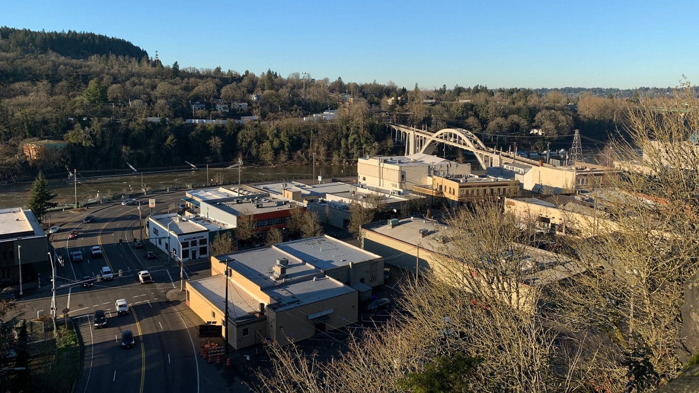
Willamette River Ped-Bike Crossing
Planning a River Crossing Through a Social Equity Framework

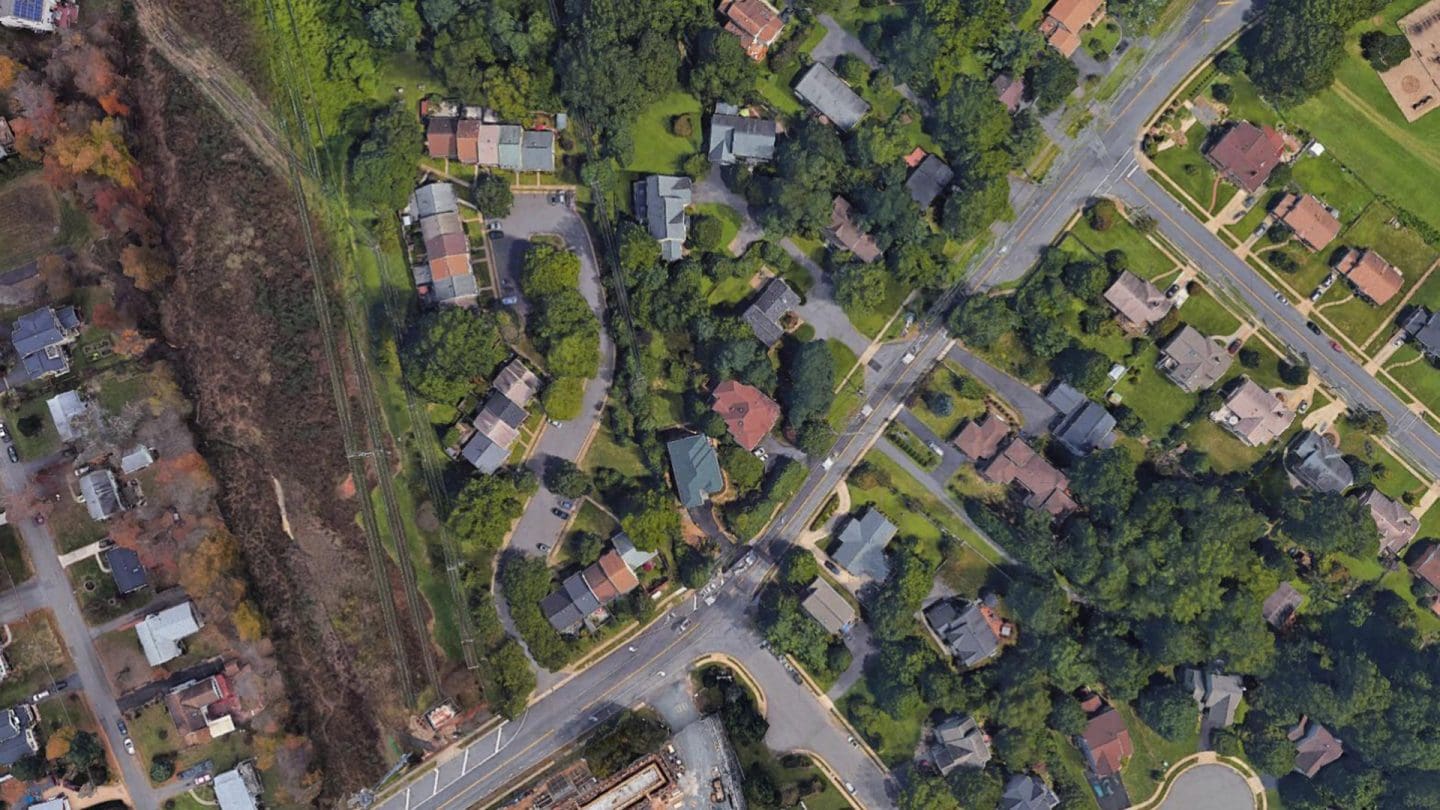
Shreve Road Corridor Study
Creating a Safer Corridor for Wheels and Feet

Oregon Avenue Protected Bike Lane
The Doctor-Prescribed Bike Lane

