
“If you are looking at a Venn diagram with art on the left and science on the right, GIS lands right in the middle.”
We’re an interconnected nationwide team, but we each have our own reasons for being passionate about the work we do. This month, get to know Kolbe Stets, a GIS Specialist in our San Diego office.
What’s your background and how did you end up at Kittelson?
My background begins outdoors. Growing up, I rode my bike through neighborhood streets, hiked nearby eucalyptus forests and canyons, boogie boarded in the waves of Southern California, camped in the Eastern Sierras, and climbed trees. Those experiences shaped how I see the physical world and, more importantly, my relationship with it.
That interest led me to take every geography and geology course I could in college. I learned about tectonic plates during a camping trip up the California coast, GPS and satellite triangulation in my first GIS class, the variety of ecosystems across the United States, global tidal patterns, and the ways the jet stream shapes our daily weather. When I discovered the intersection of the physical world and spatial analysis, I knew I wanted to learn everything I could about GIS.
After graduating from San Diego State University, I applied those spatial skills at a utility company, a water district, city and county governments, and a consulting firm specializing in parks and active transportation. That path ultimately led me to Kittelson, where I saw an opportunity to use GIS to improve transportation and help more people connect with and enjoy the outdoors.
What do you like to do outside of work?
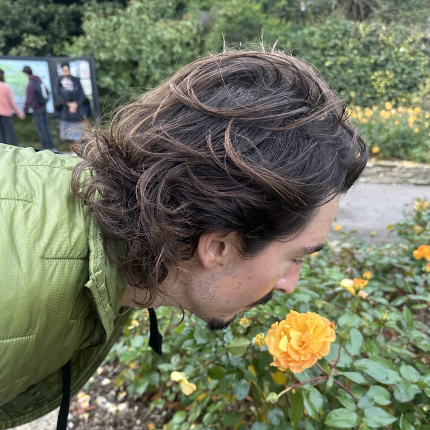
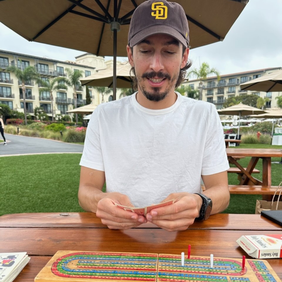
So many wonderful things: baking bread and homemade chocolate chip cookies; swimming in the lagoon with my wife; traveling to see family, including my new nieces and nephews; exploring different parts of Canada; running and biking with a local track club here in Carlsbad; and having dinner with friends after a sunset e-bike cruise, then rolling into a game night. Just to name a few!
For someone who doesn’t work in GIS, how would you describe what you do and why it matters?
If you are looking at a Venn diagram with art on the left and science on the right, GIS lands right in the middle. Apply that to everything involving maps, spatial analysis, and visualization, and you get a sense of what a day looks like for someone in GIS. Tobler’s First Law of Geography states that everything is related to everything else, but near things are more related than distant things. That relationship between where, why, and how is baked into the fabric of being human. Think about all the times today you used a map, wondered where something was, or considered how two things related to each other in time and space. Our spatial mind is a marvelous thing.
Underneath all those questions is data. We can display that data in ways that produce more meaningful results and a deeper understanding across every walk of life: political voting maps, waterways in the Southwest, demographic data for a village in Brazil, and ocean temperatures across the globe. Using our sense of sight to understand the tabular data of the world around us lets us see reality in a new light. It brings to the surface images we could not see before. At the end of the day, GIS helps people make better decisions about the places they care about.
Was there a particular project of experience that made you realize you wanted to focus your GIS skills on transportation?
It wasn’t a project or an experience so much as a mindset shift. I started to realize that this combination of art and science helped me think more holistically, in four dimensions. It turned my thinking from why to where and how. Instead of “Why are there no trolley stops that drop you at San Diego International Airport?” the question became “How could we design a rail line that serves the airport and the other critical parts of the San Diego region’s tourism economy?” That was a meaningful shift, and it changed the way I interact with my environment.
Within transportation, we get to ask a lot of fun and interesting questions. That’s because everyone needs transportation to get through their daily lives. So, we’re not just making a map to say we made one — we’re doing work that improves people’s lives. No matter how big or small the impact may be, this work matters, and it matters to the people who are affected by these projects.
Of the transportation challenges you’re working on today, where do you think GIS has the greatest opportunity to make a difference?
One of the greatest opportunities for GIS in transportation is transparency — shedding light on issues and opportunities that currently live only in a table or on paper. Think about how mapping fatal crashes across a set of intersections changes the way a policymaker looks at that roadway and the potential funding roadway improvements. Or how a map showing the lack of sidewalks and safety infrastructure around a school change how parents think about getting their kids to school. Bringing issues and opportunities to the forefront of a conversation through a visual medium is a critical pillar of any decision-making process.
Does exploring San Diego by bike change the way you think about transportation networks when you’re sitting down to map them?
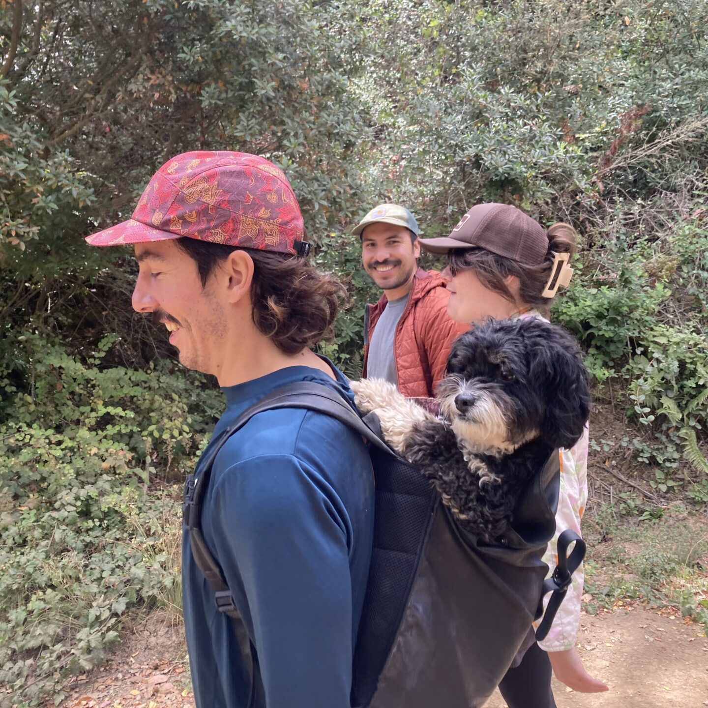
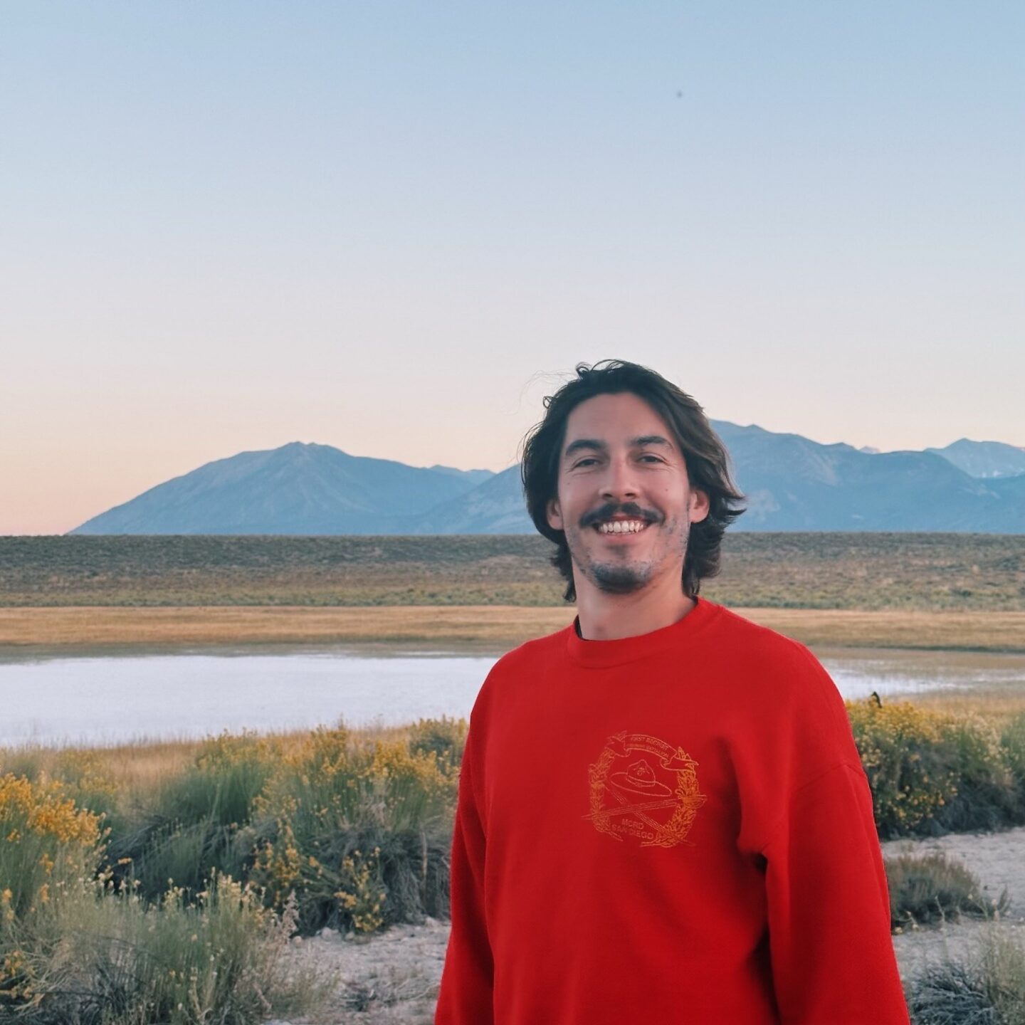
100%. And I’d encourage anyone to bike around their own city, or somewhere they’re visiting, as often as they can. My hot take is that the best way to see any city, park, or area is by bike, and I challenge anyone to prove me wrong. Feel free to start your journey in San Diego.
Once you see yourself as part of a community, your perspective shifts on how you navigate that world. It can change how you move through your own surroundings, or how you think about the people around you getting where they need to go safely. Both are powerful inputs to a decision-making process. I love exploring San Diego by bike, and if anyone wants to come out for a visit, I’ve got a couple of routes full of ocean views, tacos, and good vibes.
Fast Lane Facts:
Favorite national park you’ve visited?
Banff.
Paper or digital map?
Paper!
A color combination you’d never put on a map?
None!
If your career weren’t in GIS, what do you think you’d be doing?
Motivating people to run and bike around the world.
One GIS tool you can’t live without?
Table Join Field