July 29, 2025
Traditional transportation data collection methods, such as turning movement counts and tube counts, provide valuable insight into travel patterns. However, these methods can become costly and have limited ability to observe certain patterns that planners and engineers care about. How can agencies and the transportation industry make well-informed, data-driven decisions when they lack access to all the relevant data?
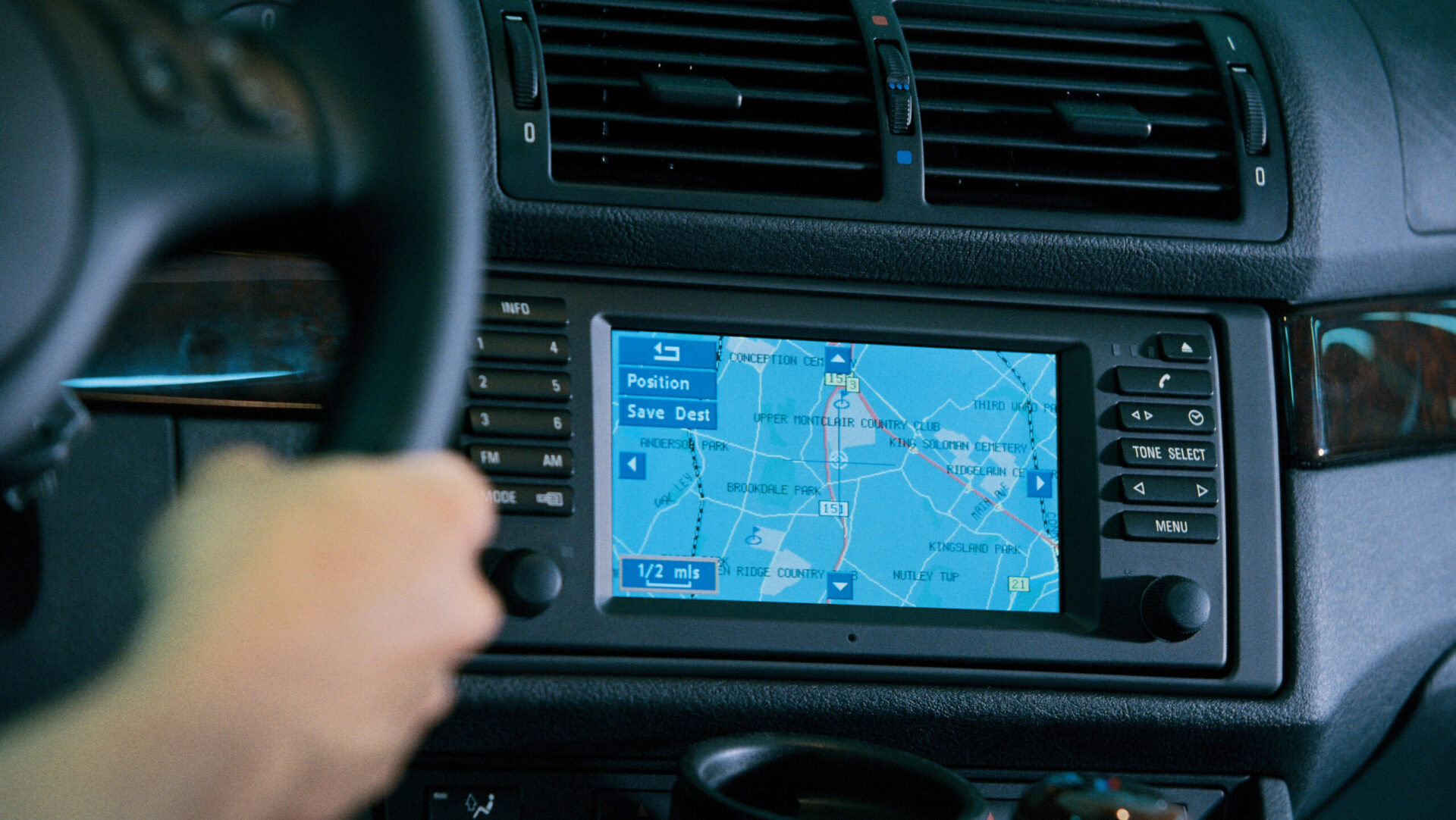
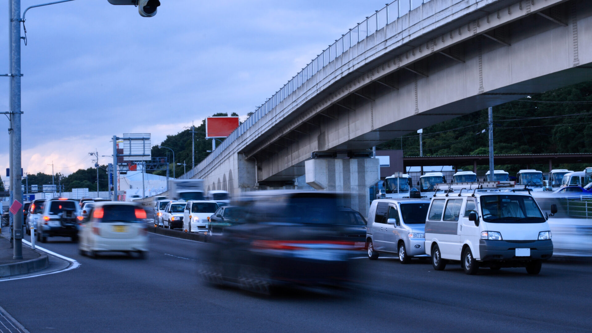
This is where Telematics data comes in. Telematics data, also known as GPS data or location-based data (LBS), collects data from GPS devices in vehicles that records metrics such as speed, vehicle origin, and instances of hard braking. This data allows transportation professionals to assess up-to-date vehicular trends at specific locations. Remotely collected from vehicles and available for purchase by practitioners, Telematics-based datasets allow transportation professionals to assess travel patterns over longer time periods and across larger areas, often at a substantially lower cost than traditional data collection methods like manual counts.
Telematics makes data that otherwise might never have been collected accessible, allowing for novel analyses to answer age-old questions. However, just because it’s available doesn’t mean it’s right for your project or agency. Let’s dive into the role of Telematics data in the transportation industry, particularly when and how you might choose to use it—and when you might be better off leaving it in the toolbox.
Public agencies and transportation professionals use Telematics to collect data on phenomena that would otherwise be too difficult or expensive to collect using traditional methods.
How Telematics Can Be Utilized
As hinted above, public agencies and transportation professionals (like Kittelson!) use Telematics to collect data on phenomena that would otherwise be too difficult or expensive to collect using traditional methods. Practitioners can purchase Telematics data from vendors who process the GPS data according to their own methodologies. Certain vendors have relatively simple methodologies, primarily based on connected vehicle data (GPS data) that is scaled to a sample size. Other vendors use Telematics data as one of multiple inputs to model travel patterns. Sometimes, vendors even source some of their data from other Telematics vendors.
Telematics datasets typically differ from one another based on their trip granularity and spatial and temporal precision. Available data can range from broader travel patterns across an entire region, which could be used in a regional origin-destination study, to counts of individual driver behavior at specific intersections, such as rates of hard braking. Granular Telematics data may be more expensive to purchase and take more time to process, but these sets can be indispensable when looking at rare event data (e.g., congestion during a holiday weekend) or when specific location data is needed on a particular project (e.g., measuring the length of truck queuing at a port).
The use of Telematics data has made real impacts on our project work. For example, we helped the Port of Oakland, California, examine how queuing at a terminal impacted operations. To ensure smooth operations at the Port, lines at terminal gates should not extend to and block movements at adjacent intersections. This can be tricky to measure, as queue lengths depend on multiple factors outside of the Port’s control that cannot be easily predicted, making it difficult to schedule manual queue reviews. In addition, excessive queues are relatively rare events with outsized impacts on operations. With Telematics, we were able to examine precise truck location data for a multiple month period to isolate and measure the worst queuing events.
We also called on Telematics to help Alameda County, California, study a corridor that was multiple miles long and stretched across multiple contexts and cities. Using Telematics, we evaluated different parts of the corridor to understand whether travelers were primarily completing local or regional trips (including whether any part of the corridor was being used to avoid congestion on the freeway). This information helped our team consider distinct needs along the corridor and propose context appropriate projects paired with information to communicate the “why” to the public.
If you know that speeding is a concern in your community, but you don’t know exactly where, you might turn to Telematics to pinpoint where exactly it is occurring.
When to Make the Investment
So, if Telematics data is readily available for purchase and able to meet the data needs of municipalities and transportation professionals, you may be asking: how do I decide when I should use it?
The first step to deciding whether to purchase Telematics data is identifying whether you have a question that would benefit from using it and if you lack an existing dataset to support your evaluation (don’t have your data tell you what questions are important!). For example, if you know that speeding is a concern in your community, but you don’t know exactly where, you might turn to Telematics to pinpoint where exactly it is occurring.
Because Telematics data isn’t cheap and comes with its own limitations, you need to be responsible with your purchases. It’s optimal to purchase Telematics data if it is significantly cheaper and better in quality than the data that you have available or could collect on your own.
It’s also important to tailor your purchases to the kind of data that you need, because different vendors specialize in different data types. If you were trying to address truck queueing, then you’d want to seek out the vendors who specialize in that kind of data. Consider what you want to get out of a dataset, and match that to the strengths of a vendor.

While Telematics data can be invaluable to a project, it is important to think critically before building a dataset into a long-term process or approach.
When Telematics Isn’t the Answer, and the Gut Check
We’ve covered when you should use Telematics data, so let’s get into when you shouldn’t.
Consider whether a vendor’s data meets your accuracy and transparency needs. Vendors process their data based on methodologies that may not be clear to users. Pay particular attention to sample sizes, as these may not be readily apparent, and can be major concerns in more rural areas where there are fewer travelers to sample. In other words, this isn’t raw data that you’re dealing with, so there’s a chance it isn’t perfectly accurate.
This is when you might employ a gut check. A gut check is a quicker and less expensive alternative than performing a full evaluation of a dataset, which many agencies and companies do not have the resources to do. With most vendors, you can ask for an extract of the data you want to purchase. Examine the extract: are there any immediate red flags in the data? If you already have a trustworthy dataset (that needs to be supplemented by vendor data), compare it to the vendor dataset, and see if they match up. For instance, does the vendor report the same recorded speed as the trusted dataset? If not, that may be a sign to not use that vendor’s data.
Also, consider the audience for the data, whether it’s a specific group within an agency, the public, or a critical stakeholder, and whether Telematics data is appropriate. Is the audience open to using Telematics based data instead of traditional data collection methods? Does the vendor provide documentation that can help your audience feel confident that the dataset was collected and processed reliably? Does the data align with the audience’s knowledge of the local context? Does it match up with a dataset that they strongly trust? If the audience isn’t confident in the dataset that you are using, it’s best to look elsewhere.
While Telematics data can be invaluable to a project, it is important to think critically before building a dataset into a long-term process or approach. Vendors can and will change dataset prices and their data processing methods. If a specific vendor dataset becomes part of a standard process, your project may become dependent on an outside company. If you are overly entrenched in the vendor data, it can be incredibly difficult to restructure the project in case you have to suddenly change. As with most things, moderation and responsibility are key to making sure that Telematics data is more of a boon than a burden to your project.
The Bottom Line
When applied strategically, Telematics data can be a game-changer for transportation professionals and save agencies the headache and the time that it takes to manually collect data. A step into the future, Telematics plays a critical role in project work that is done all over, including right here at Kittelson.