November 30, 2022
Evacuation planning is anything but simple. Though we like to use the word “plan,” the reality is natural disasters are wildly unpredictable in nature. Try as we might, we simply cannot account for every possible scenario, which puts immense pressure on evacuation systems in real time.
As transportation engineers and planners, we can help agencies better manage this unpredictability, and save lives, by creating dynamic models that demonstrate how the flow of an evacuation will change under different conditions. Read on to learn about the use of transportation modeling in evacuation planning, and insights from agencies who have used models to enhance their evacuation and communication strategies.
Challenges of Evacuation Planning
Communities everywhere are facing big questions as they seek to “prepare for the unpredictable.” In addition to the volatile nature of emergencies, there are a number of factors that make evacuation planning a particularly daunting task:
- There are an endless number of possible emergency scenarios. Agencies need to find a balance between planning for the most realistic scenarios (which are usually not the most extreme), while also being prepared for the worst case.
- Any investment in infrastructure has the potential to change the flow of an evacuation. Communities need plans that work with their current infrastructure, but also want to strategize around planned capital improvements and understand how potential investments will impact evacuation proceedings.
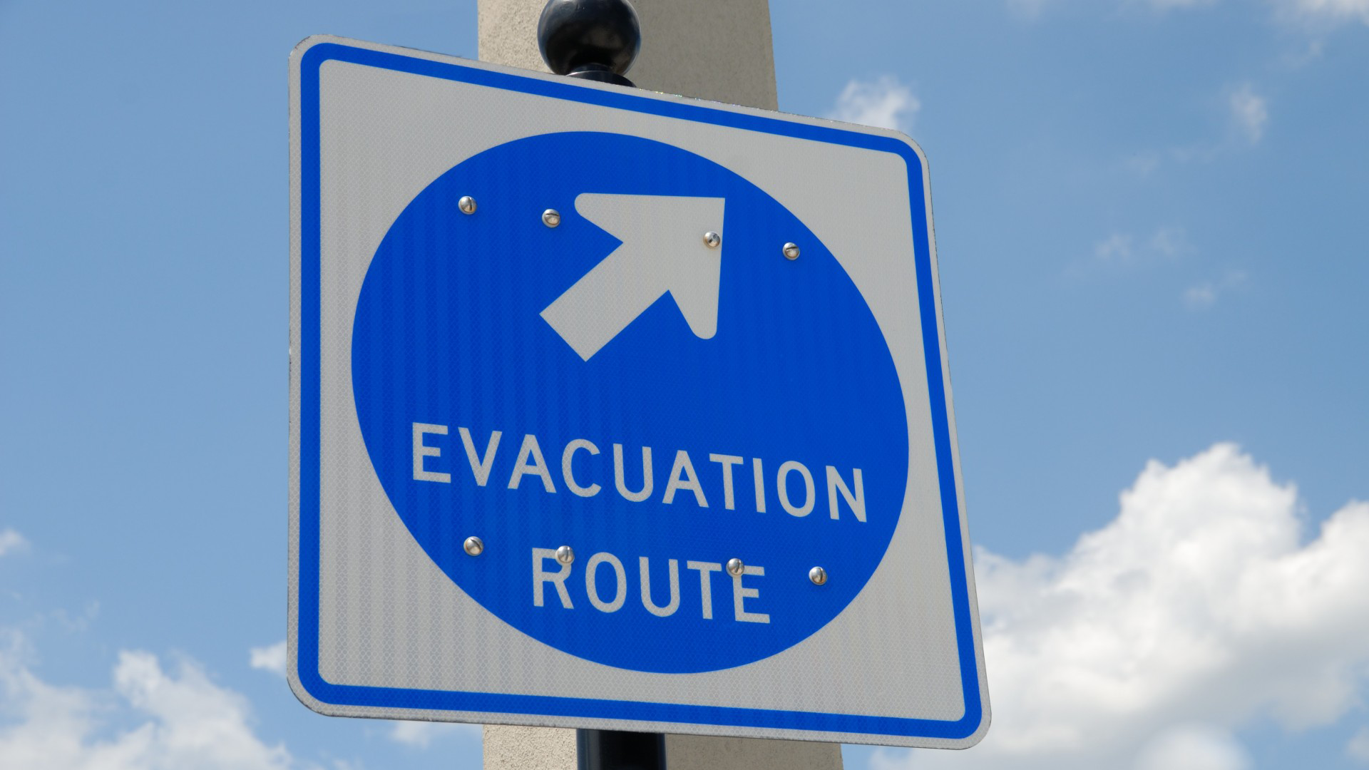
- Once procedures are determined, communicating them out is no simple task. There is no single communication channel that will reach all residents.
- People face hard and often deeply personal choices during an evacuation, which can make predicting evacuation choices complex even when instructions and procedures are known.
This list is by no means exhaustive, but it makes the point that evacuation planning needs to be both dynamic and nimble to account for a wide variance in emergency scenarios and human behaviors. This is where transportation modeling, which is dynamic in nature, can provide an insightful piece of the puzzle.
The Role of Transportation Modeling in Evacuation Planning
We’ve had the chance to work with clients nationwide using transportation models to predict evacuation scenarios and support planning efforts. Essentially, we’re using modeling software that we’d traditionally use to analyze commute patterns, and customizing the models to reflect predicted evacuation patterns.
A model like this can account for a multitude of factors. For example, in a wildfire emergency, we need to consider:
- Fire Direction. Which way the fire is coming and the order that neighborhoods will evacuate.
- Closed routes. If there are two main routes out of a town and a fire has shut one route down, this has a big impact on the flow of traffic and overall evacuation strategy.
- Vehicles. Cars are valuable possessions, and people who suspect their neighborhood is in danger will take all their cars with them if they can. In some cases, we also need to plan for more trailers and larger vehicles being on the road than normal.
- Destinations. We can use data from prior evacuations to predict the locations to which people are most likely to travel.
- Reverse traffic. Not all traffic will be heading out of town-emergency personnel need access to evacuation areas to provide aid and some people will make trips home to assist loved ones and retrieve possessions.
- Evacuation timing. Some people will choose to evacuate before their neighborhood is in a mandatory evacuation zone, while others may stick around even after they’ve been told to leave. We can pull data from previous emergencies to estimate the percentage of people we expect to evacuate early and late.
- Non-evacuation traffic. Just because an evacuation is in place doesn’t mean the roads are clear of all other activity. Outside the evacuation zone, people may still be going about their business and affecting traffic patterns, especially during commute hours.
When we build these factors into the model and change the inputs to account for different scenarios-for example, modeling a different fire direction or route closure-the model shows us predicted impacts to the flow of the evacuation. Agencies can use this information to determine more nuanced operational strategies.
In addition, agencies can utilize models in the evaluation of capital improvements that may change the way their community evacuates. We can plug potential projects into the model and analyze the way they impact evacuation efficiency, thus helping communities determine which projects are most worthy of investment.
Evacuation Modeling in Tuolumne County, CA
For an example, let’s turn to Tuolumne County, which sits just north of Yosemite National Park-an area that draws tourists from around the globe for its striking scenery and tall redwoods. This forested region of California has, unfortunately, also been in close proximity to several destructive wildfires in the past few years, including the Rim Fire that affected a portion of Yosemite, and the deadly Camp Fire that destroyed the Town of Paradise. These disasters prompted neighboring communities to get even more serious about understanding their wildfire risk and developing emergency strategies.

Tuolomne Meadows. Photo by Steve Dunleavy.
Kittelson was brought on by the Tuolumne County Transportation Council (TCTC) to model wildfire scenarios and identify improvements in infrastructure and communication that could help save lives. We partnered with Jensen Hughes, a safety engineering firm, and Dr. Stephen Wong, a professor at the University of Alberta whose research focuses on human factors in evacuations.
The Kittelson team first modeled different evacuation scenarios to understand potential impacts and likely bottlenecks in the event of a wildfire in Tuolumne County. Jensen Hughes mapped seven wildfire scenarios that would result in large scale evacuations, and based on these scenarios, our team modeled transportation patterns and used this information to compare baseline conditions to evacuation conditions to identify potential limits to an effective evacuation, both at the site of the fire and on major roads downstream of the fire. Based on the findings, Kittelson identified strategies for increasing the area’s resiliency and potential locations for deployment, ranging from operational improvements during an evacuation event to capital improvements like widening road shoulders.
Working with TCTC and the project team, as well as Tuolumne County Office of Emergency Services (OES) and local stakeholders, we also looked at ways to improve communication strategies before, during, and after an evacuation. Tuolumne County attracts seasonal vacationers and workers who may be less familiar with evacuation procedures. It is also home to a substantial senior population, residents with limited mobility, and others who may be more difficult to reach during an evacuation. Our communication strategies account for these varied audiences and based on different emergency scenarios, provide recommendations for communications tools, resources, and backchannels (information feeds that allow for updating and modifying the strategy in real time).
The study also addresses vulnerable communities and populations within Tuolumne County, identifying potential route improvements for evacuations or emergency vehicles for communities at increased risk due to limited access. It incorporates the Spatial, Temporal, Economic, Physiological, and Social (STEPS) transportation equity framework, relating factors for transportation equity to wildfire evacuations and suggesting methods for reaching and evacuating populations with zero vehicles, residents of senior centers/group homes, populations with limited mobility, minority populations, tribal communities, communities with limited access, and out-of-town visitors.
These findings from this study will ultimately be incorporated into the regional transportation plan, which opens the door for funding and implementation.
Insights for Other Communities
Communities everywhere are facing similar challenges and seeking to learn from one another in real time. No one community has all the answers, but here are a few key takeaways from our experience with Tuolumne County and similar projects:
1. Get the discussion started! Get your agency’s planning and public works divisions, regional transportation planning agency, and Office of Emergency Services into the same physical or virtual room. This may also reveal who eventually needs to be brought into the conversation when more is known. For instance, you might need to eventually coordinate with neighboring jurisdictions once you know which routes you might be relying on.
2. In that conversation, make sure you have a diversity of perspectives in the room. The complexity of emergency planning calls for a range of perspectives to help communities effectively prepare. The more projects of this nature we work on, the clearer it becomes that we need expertise from all disciplines in order to fill gaps and set communities up for best possible outcomes. For example, emergency responders think differently than transportation engineers, and we need both perspectives.
3. Identify what resources you have to implement an evacuation plan (and where improvements are needed). For example, what resources will you need to employ communications strategies during an emergency? What is your staff’s capacity to implement emergency procedures like monitoring intersections and coning roads? Also, what grant programs are available for capital projects, including sources not typically used for transportation planning?
4. Use knowledge of natural disaster risk to inform land use planning and development standards. In Tuolumne County, we helped our client identify locations where additional design standards are critical for new developments and may be warranted so that new developments aren’t being constructed in high fire risk areas without controls in place.
5. Define your timeline and scale. Are you looking to determine operational strategies that can be immediately implemented by public works or emergency services agencies, or are you looking into major capital improvements to expand roadways and inform land use planning over time? Is everyone aligned on the geographic scope of the study?
Let’s Get the Conversation Started
At Kittelson, we know this work is of critical importance. We’ve helped clients across the state of California model evacuations and prepare for wildfires, from evacuation plans in Butte County and Ojai Valley to evacuation studies as part of land use updates in Oakland, Hayward, San Leandro, Alameda, and Sonoma County. In North Carolina and Florida, we’ve applied similar thinking to help agencies determine operational strategies in the event of a hurricane.
If your community is looking for a place to start, the best thing you can do is open a conversation, and we’d be honored to help facilitate it. Feel free to reach out to any one of us:
- Matt Braughton, Associate Planner
- Grace Carsky, Planner
- Mike Aronson, Principal Engineer
- Alex Garbier, Engineering Associate