“I am excited about how safety, multimodal access, and emergency preparedness are starting to come together in a more integrated way.”
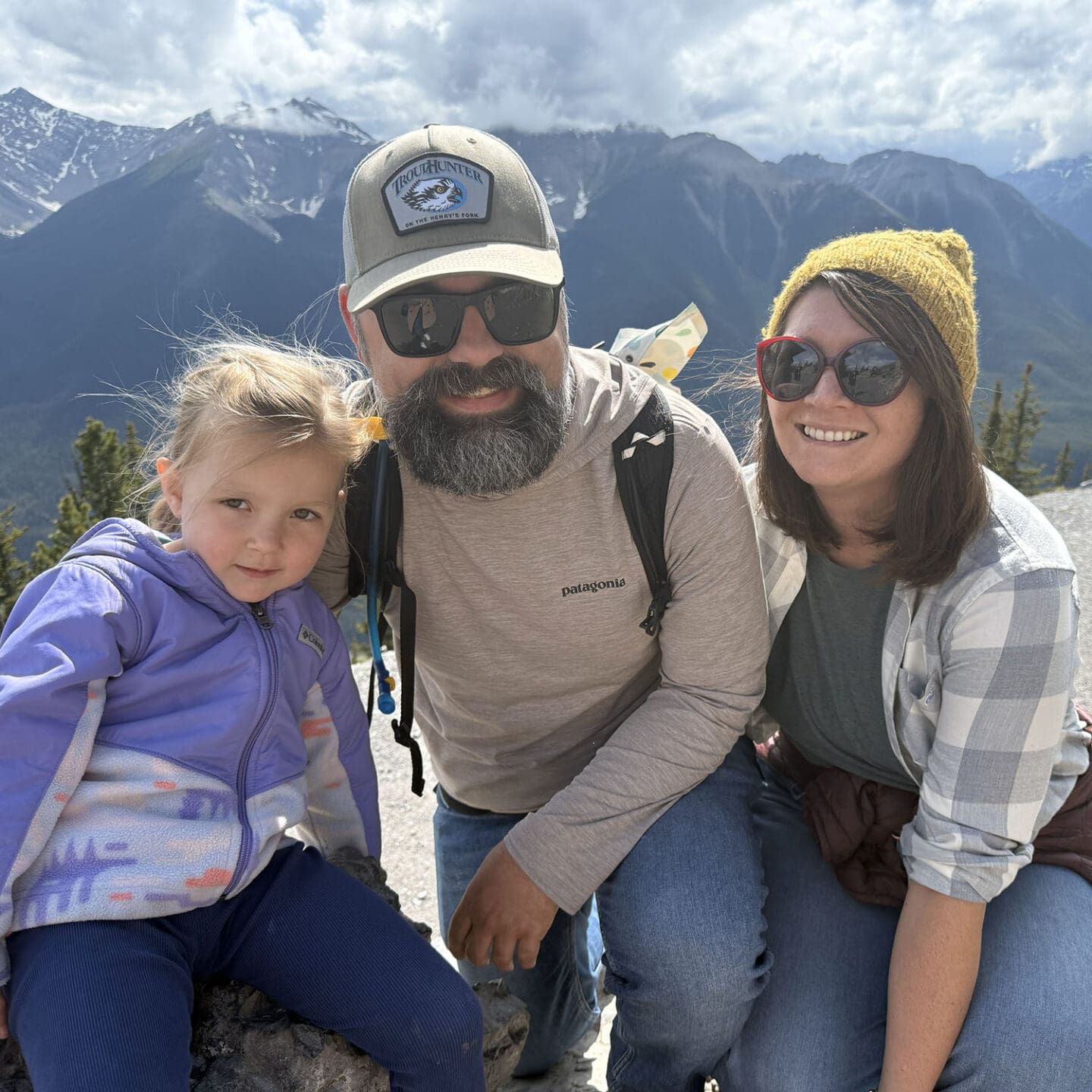
We’re an interconnected nationwide team, but we each have our own reasons for being passionate about the work we do. This month, get to know Matt Braughton, associate planner in our Sacramento office.
What’s your background and how did you end up at Kittelson?
I grew up in rural northern California in Sonoma County, then headed to UCLA because I wanted to experience a completely different place and really live in a big city. I studied political theory and geography there, which gave me a good grounding in how city planning worked, both from a policy standpoint and a spatial one. After college, I came back north and worked for the U.S. Forest Service as a GIS analyst. I was helping track wildlife and establish wilderness boundaries, and that really tapped into my desire to be involved in sustainable solutions and environmental stewardship. After a couple of years, I realized I wanted to be closer to the decisions that shape communities, so I went back to grad school at UC Berkeley and found my way into transportation planning.
What really hooked me was the ability to make a direct impact on sustainability, safety, and how people experience their communities every day. I met Kittelson through recruiting at the end of grad school, and one thing led to another. Fourteen years later, I am still here.
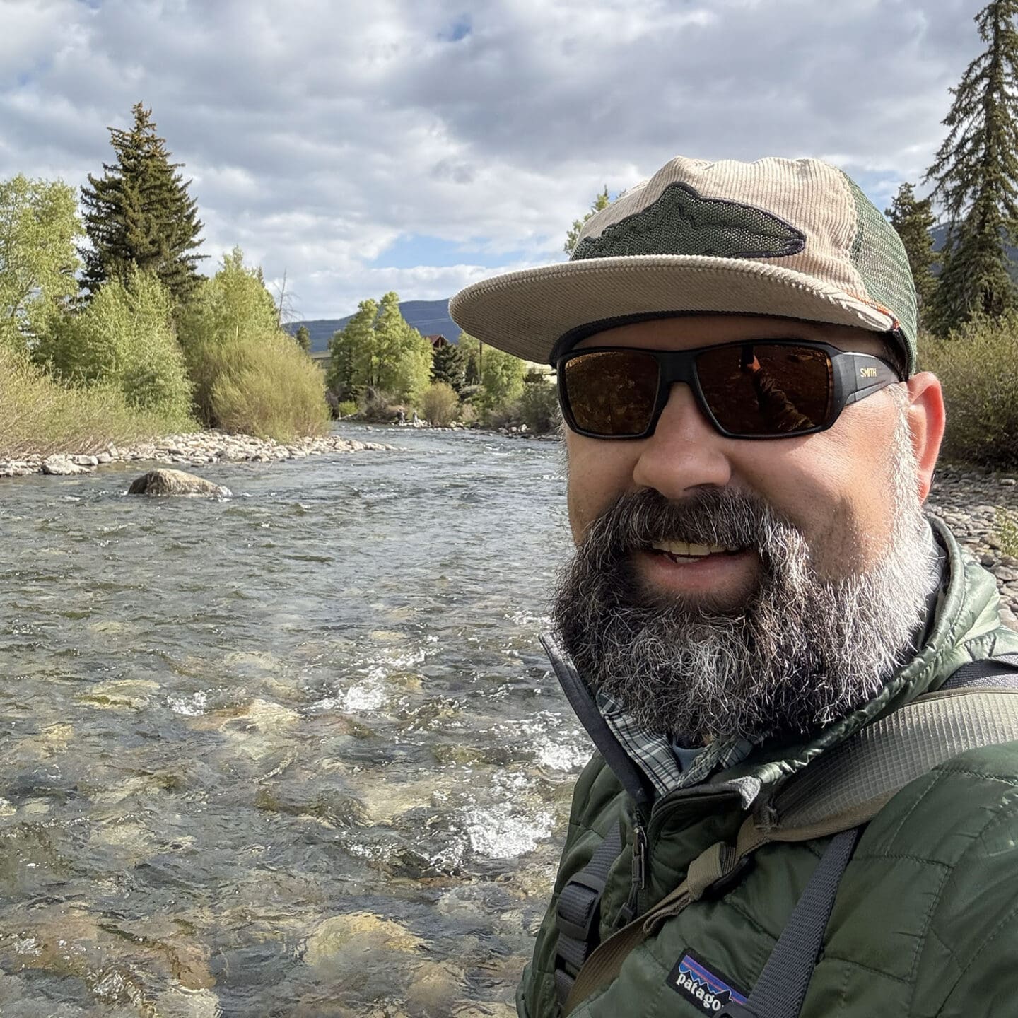
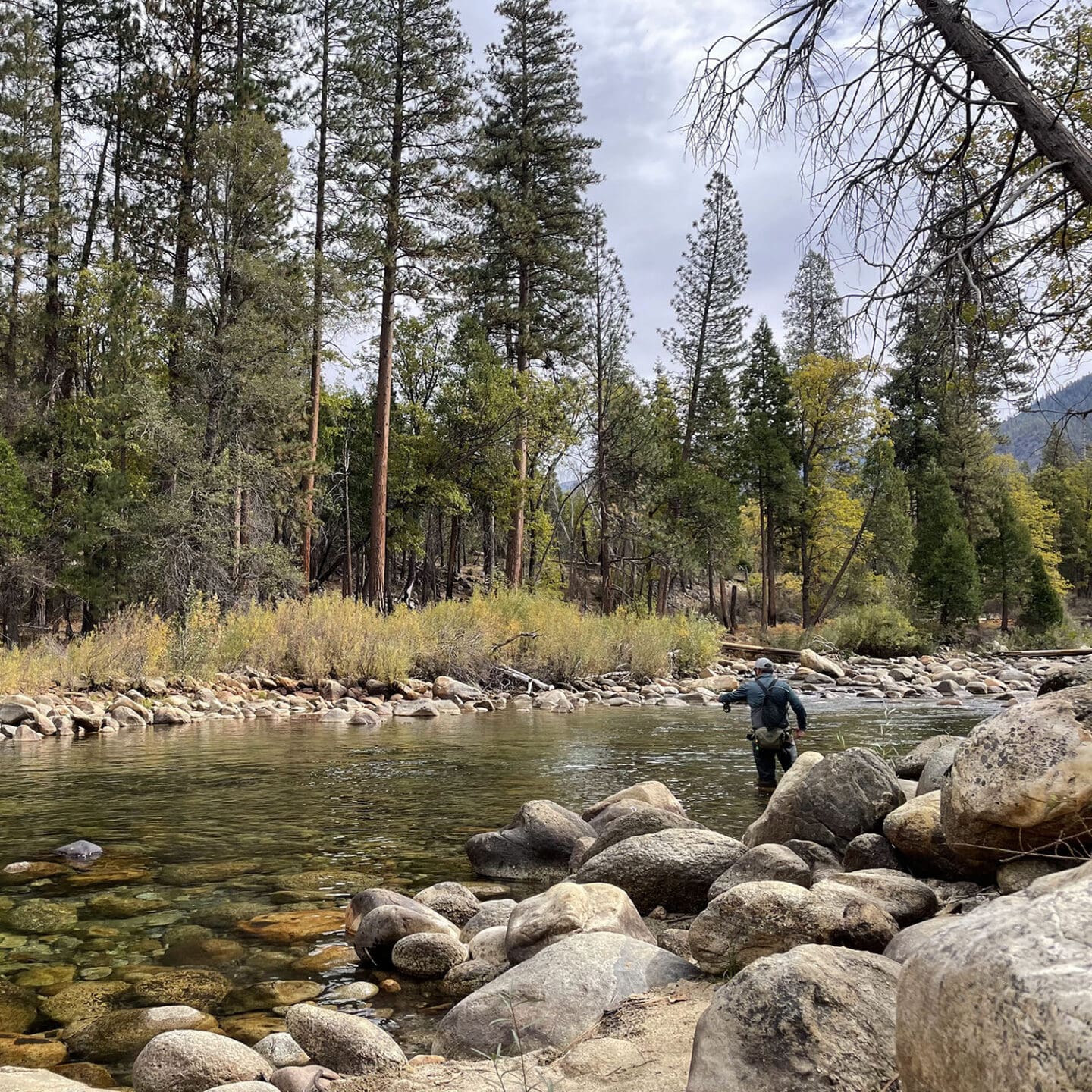
When I’m not working, I like to get outside as much as I can. I love going on hikes or just bopping around outdoors with my family. That time outside together is one of my favorite parts of life. I’m also a big fly fisherman. If I’m not out on the water, I’m probably at home tying my own flies and scheming about the next remote stream to explore. I really enjoy finding those out-of-the-way places. On the quieter side, I like reading across a wide spectrum: sci‑fi, non‑fiction, transportation topics, and even the occasional law review article. When I can, I also love to travel and visit new places.
What draws you to multimodal and safety-focused projects, and what keeps you interested in this type of work?
What pulled me into transportation was the chance to make a real, measurable impact. Safety work has such a direct connection to people’s lives, you’re literally talking about saving lives and preventing events that would fundamentally change a family or a community. That’s a powerful motivator. On the multimodal and active transportation side, it goes back to sustainability and giving people real choices.
There’s a time and place for driving, of course, but if you can walk somewhere in ten minutes, why wouldn’t we at least explore how to make that possible and comfortable? I’m really interested in how we can design communities so that not every trip requires a car. I also love how walking and biking change the way you experience a place. When you are on a bike or on foot, you notice details of the street, the businesses, and the people around you. In a car, you miss a lot of that. Strengthening that connection between people and the places they live and work in is a big part of what keeps me engaged in my work.
How does transportation planning show up in emergency preparedness?
Emergency preparedness was not something I expected to work on when I started my career or even a few years in. As wildfires and large-scale evacuations have become more frequent in California, we found our way into that work, and I have really come to value it. On the transportation side, much of the work is scenario planning. We look at the threats facing a community and how those hazards may impact with the transportation system under an evacuation or other emergency response. We ask where the bottlenecks might be, which communities have limited ways in and out, and how we can support emergency responders’ access while helping people evacuate more efficiently.
We also focus on understanding who is vulnerable under different scenarios. For example, people who may not have access to a vehicle, or may have limited ways to evacuate should it occur. We have worked in places ranging from rural Butte County to the San Gabriel Valley in the LA area, the resort communities of Summit County in Colorado, and Clackamas County near Portland. Each community has different resources and risks, so the tools and strategies have to fit the local context. I also love that this work entails collaborating closely with county sheriffs, local and state fire departments, and emergency management teams. We try to understand the threats and risks they see and then translate that into transportation solutions that support their needs without undermining other community goals, such as multimodal access and everyday safety.
How do you balance the data and technical details with listening to and serving the people who use the system every day?
Earlier in my career, I saw things as very “data-driven.” Over time, I have shifted to thinking of my work as “data-informed.” Data is incredibly important. It tells us part of the story and can be a key driver of decisions. But it does not capture the lived experience of people using the system. We now have many new data sources and big data tools that give us fresh views of how people move. Even so, there is still so much we can’t see or understand without talking to people. Data alone cannot tell us why people choose to travel the way they do or why they avoid certain options. It doesn’t fully explain how the transportation network fits into their daily lives, sense of safety, or priorities. That understanding comes through conversation and engagement. Those conversations ground our solutions in the reality of that community or neighborhood.
I still enjoy getting into the weeds on analysis, as much as any other transportation planner or engineer. I just try to keep the balance in mind and remind myself that we will never know everything. The data helps us ask better questions or pose new solutions. The people who use the system help us find the right answers.
What excites you most about the future of transportation planning in California?
I am excited about how safety, multimodal access, and emergency preparedness are starting to come together in a more integrated way. In California, I am proud of the work we did on the Complete Streets design guidance for Caltrans, which is helping move the state toward more context-sensitive design. At the same time, we are seeing growing adoption of the Safe System approach and a stronger focus on changing the environment people travel in to eliminate conflicts and reduce the potential for severe crashes before they happen.
On the resilience side, it is all about how we work with emergency management and first responders to understand their core concerns and needs, then build transportation solutions that support them without setting aside other goals like walkability, safe speeds, and transit access. I am especially interested in how our growing understanding of community risk from emergency preparedness work can inform our safety and multimodal planning. Bringing that community risk profile into our projects helps us create transportation systems that truly serve the places and priorities of the people who live there, both in day-to-day travel and during emergencies.
Fast Lane Facts:
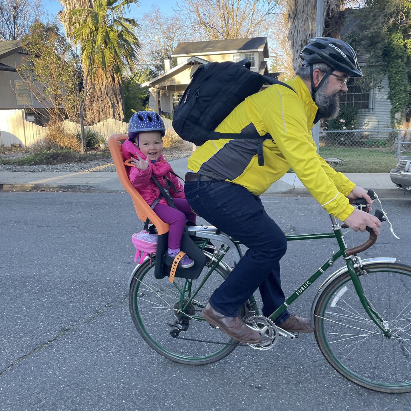
Favorite place to bike around Sacramento?
Our family’s favorite trip is biking over to nearby Curtis Park and maybe ice cream at Gunther’s on the way home. And I’ll never say no to a ride on the American River Parkway.
A book you’ve recently read that you can’t stop recommending?
I keep coming back to Edward Tufte’s data books, especially The Visual Display of Quantitative Information and the rest of his books. They’re great for thinking about how we communicate with data in ways that are clear, honest, and useful.
Guilty-pleasure snack to help you get through a long day?
I love popcorn. Probably kettle corn most of all.
One piece of emergency-preparedness advice you wish every community thought about in their planning?
There is no single route in an emergency. People need to understand the options available to them depending on the specific event that’s happening. At a community level, that means educating people that their “usual” way out may not be available in an emergency, and making sure everyone knows where to go for evacuation information. In most places, that’s what the sheriff’s office or emergency management team is telling you to do, not what’s circulating on social media.