Challenge
The rise of ride-hail apps, e-commerce deliveries, and the revolution in micro-mobility services has fundamentally changed the transportation landscape at the curbside. Practitioner groups, such as ITE, have developed general principles and hierarchies for allocating curb space-but how do planners/engineers put those principles into practice on a particular curb? Arlington County, Virginia staff sought a tool to help them determine the optimal allocation of curb space given a block’s existing or proposed land uses, transportation services, using demand calculated from the surrounding context.
Solution
Kittelson’s software development team developed a curb space allocation tool that uses six modules-ride-hailing services, commercial loading, on-street parking, transit service, micromobility, and non-transportation uses-to estimate the demand for various curb uses and the relative value of various curb allocations at the block level.
The Outcome
A Data-Driven Tool That Optimally Allocates Curb Space
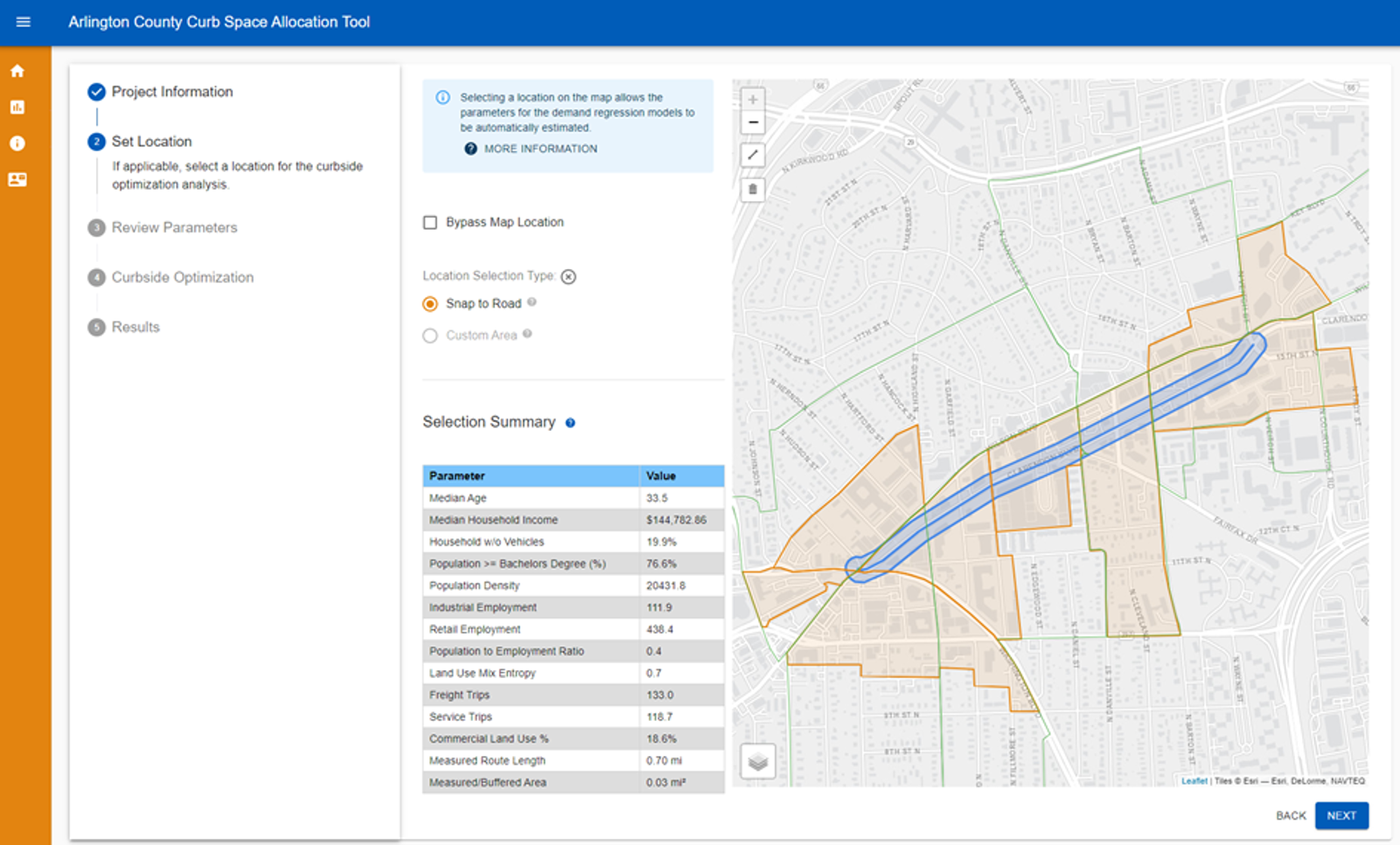
The user inputs the available curb length net of space reserved for safety requirements into a web interface that features a map-based study-area selection tool. Using demographic data, land use data, and equations derived from existing literature, the tool allocates the available curb space to maximize the economic and societal benefit.