Challenge
Mount Auburn Street in Cambridge, MA, is a busy urban corridor that connects the inner suburbs of Belmont and Watertown to Harvard Square and the rest of Cambridge and Boston. It currently has two travel lanes in each direction; carries approximately 19,000 vehicles per day; and serves 12,000 daily riders on the MBTA’s 71 and 73 bus routes, which represents as much as one-third of people traveling though the corridor, many of whom also walk or bike to access the service. Mount Auburn Street also represents a gap in Cambridge’s current bike network.
Solution
– Create safe and welcoming conditions for bicyclists and pedestrians, particularly between the Charles River and abutting neighborhoods.
– Improve operations for transit riders.
– Maintain vehicular access, particularly to local businesses and Mount Auburn Hospital.
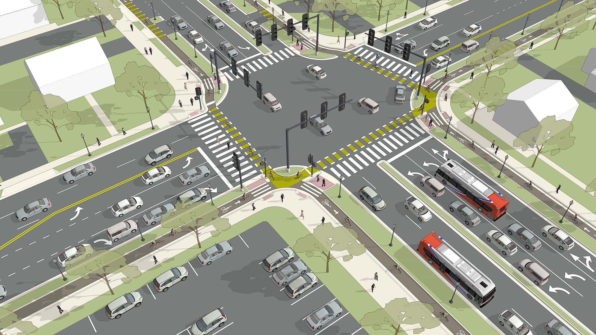
Kittelson worked with the Massachusetts Department of Conservation and Recreation (DCR), on a team led by Howard Stein Hudson, to develop short- and long-term recommendations for the improvement of Mount Auburn Street and portions of the adjoining roadways. Kittelson led the transit analysis and alternatives development, which feature bus priority treatments such as signal priority and bus lanes.
The Outcome
One Urban Corridor, Many Competing Needs
Using microsimulation modeling, Kittelson evaluated future alternatives in bus travel time, vehicle travel time, and person throughput. Bus operation improvements modeled have the potential to improve bus rider travel times by as much as five minutes per trip during the morning peak period.
In October 2018, a new bus-only lane was opened between Cambridge and Watertown. This pilot is taking 12,000 bus riders to their destinations more quickly and safely, and is the first step towards implementing a long-term plan for the corridor.


