Work
Taking the Guesswork Out of Scheduling Work Zones
Work
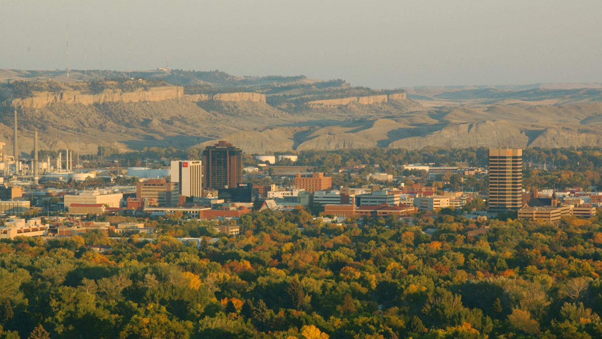
Building Transportation Planning Momentum in Montana
Work
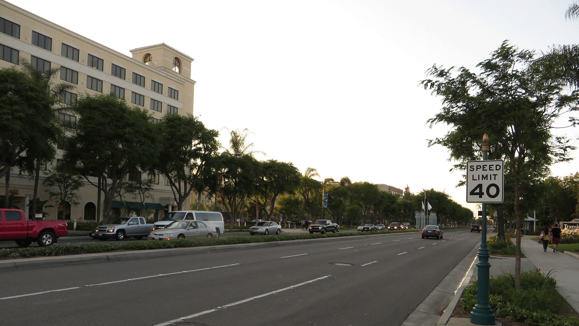
Traffic Signal Strategies That Preserve a Historic Downtown
Work
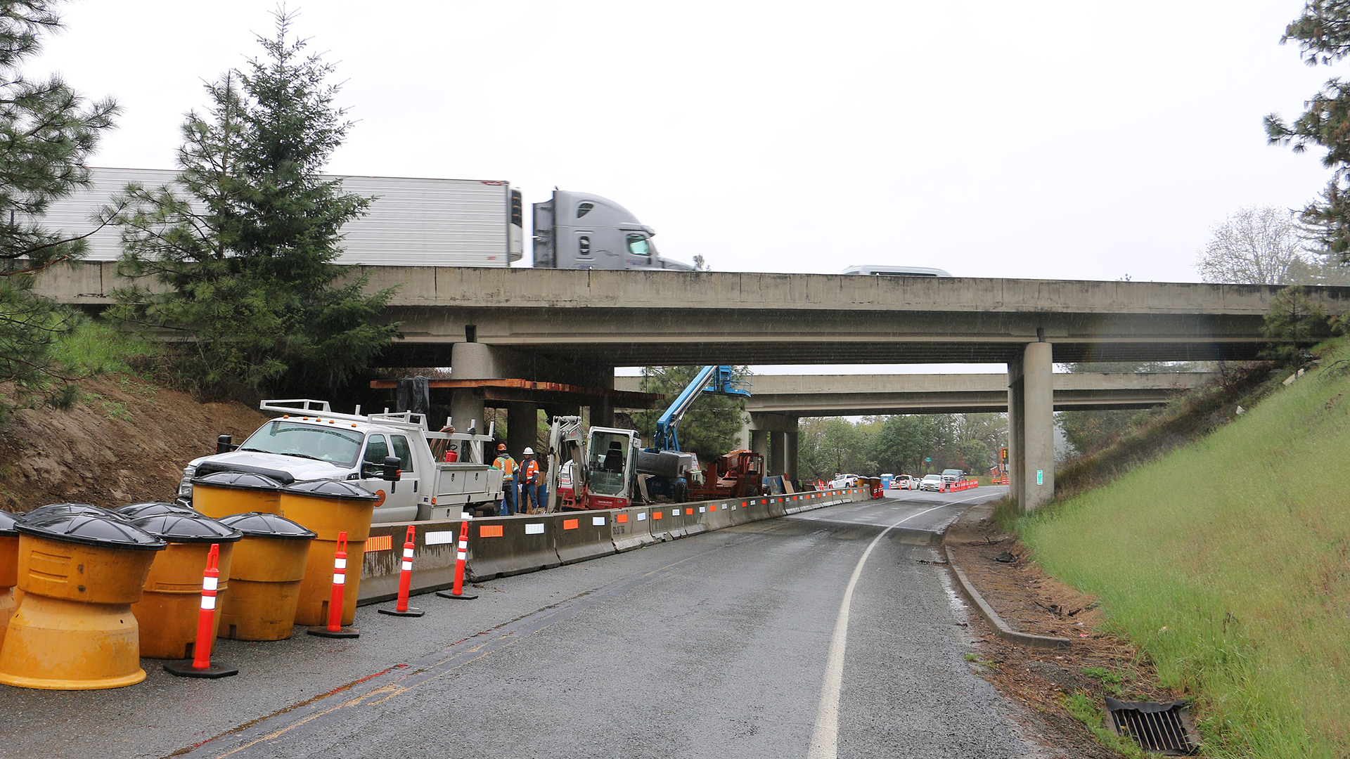
Restoring a Deteriorating Highway
Work
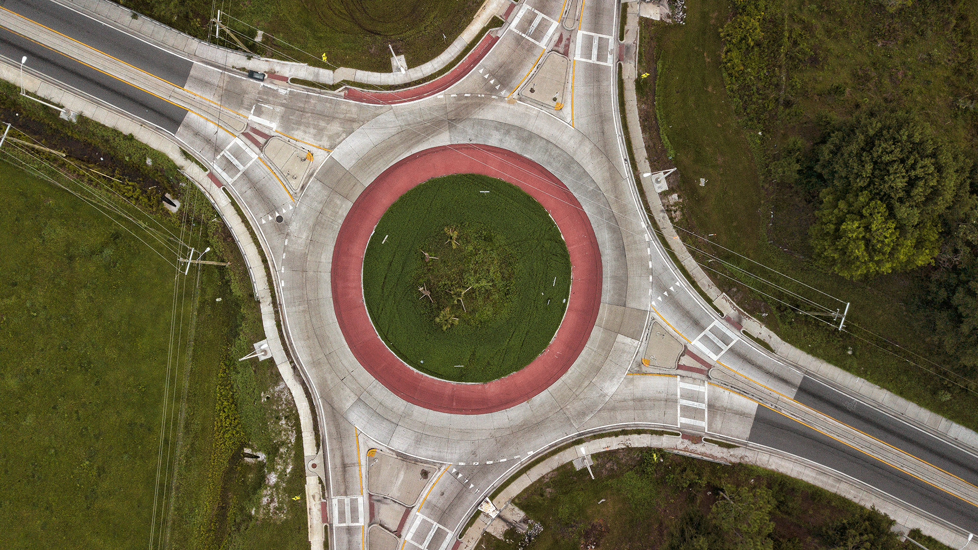
A New Go-To Guide for the Planning and Design of Roundabouts
Work
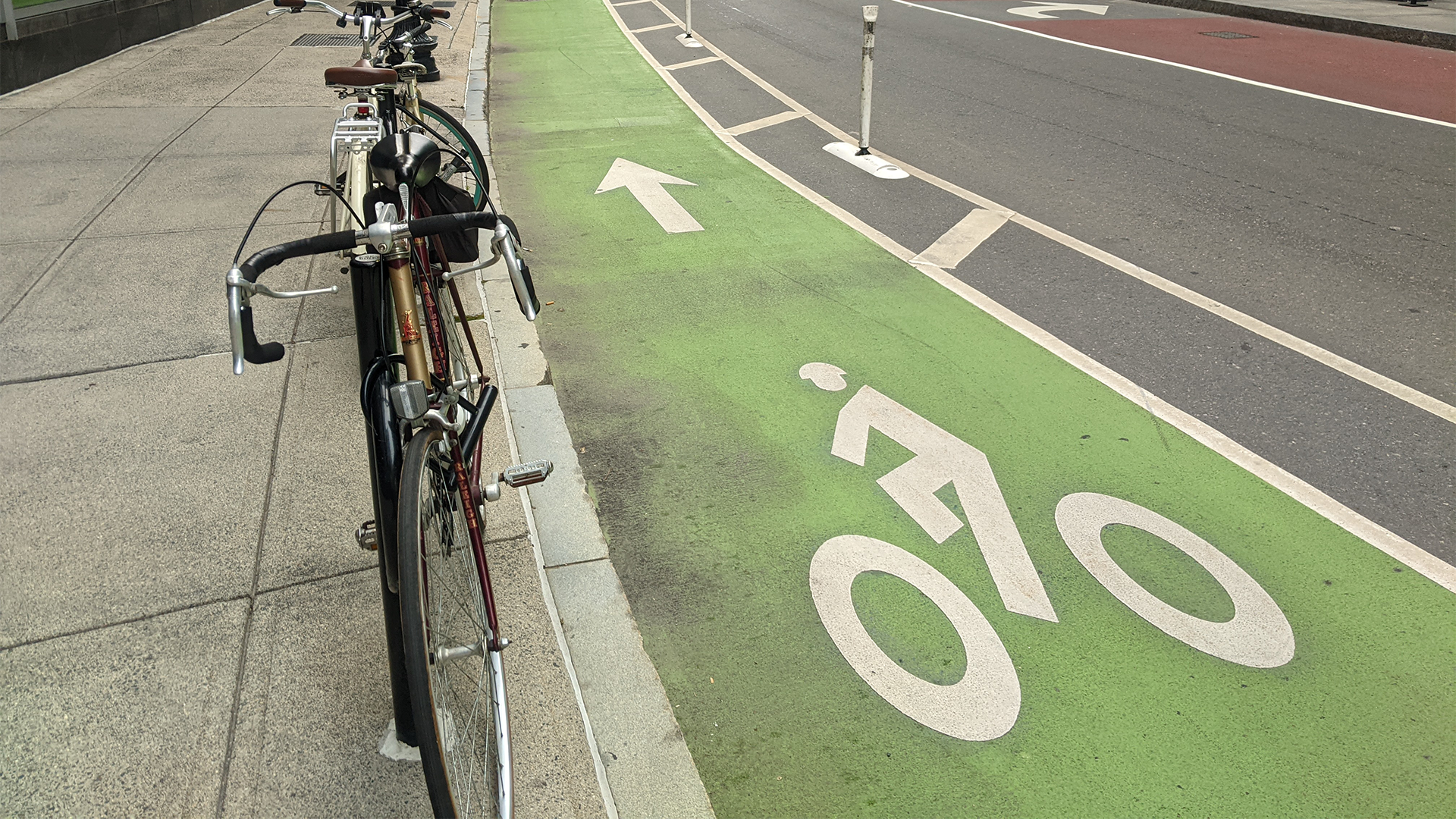
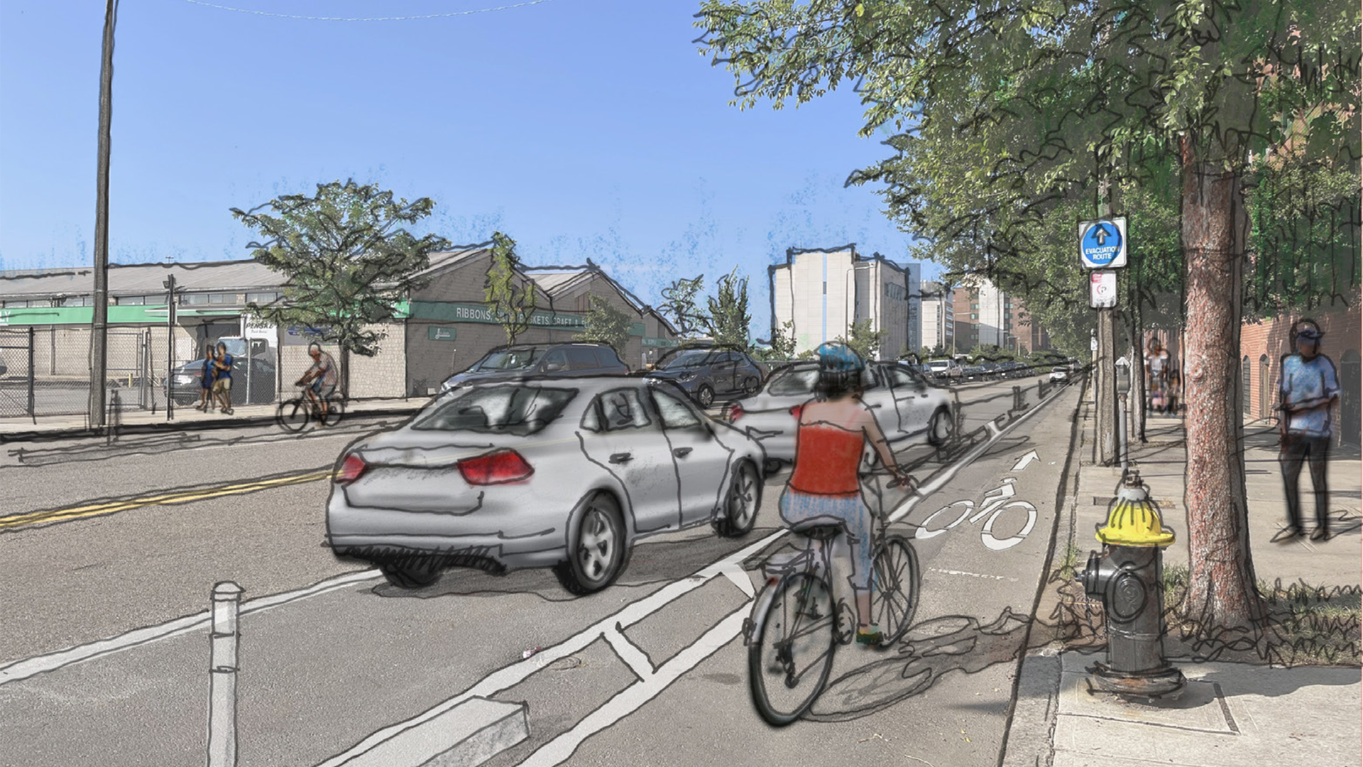
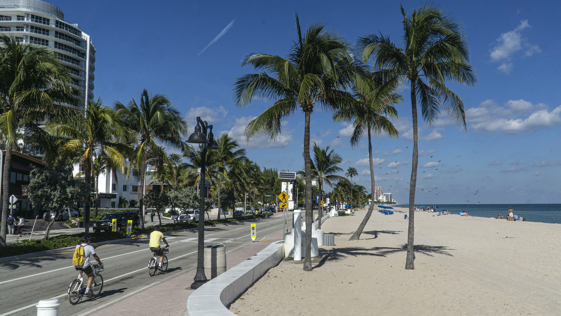
Pedaling Toward a Better Bike Future
Work
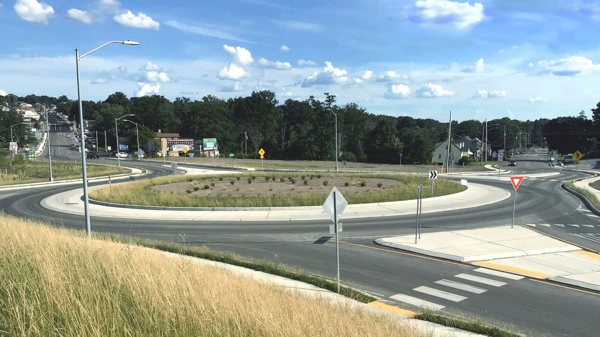
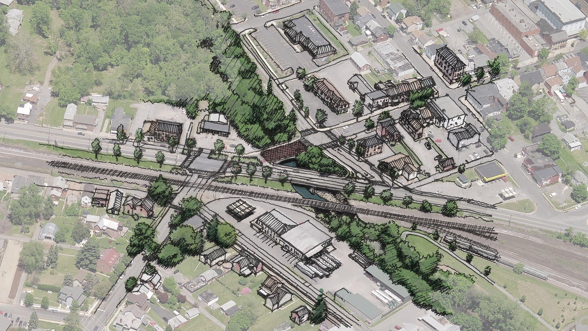
From an Antiquated Bridge to a Pedestrian-Friendly Roundabout
Work

Bringing Automated Vehicles to the Frozen North
Work
Getting a Community Out of Their Cars
Work

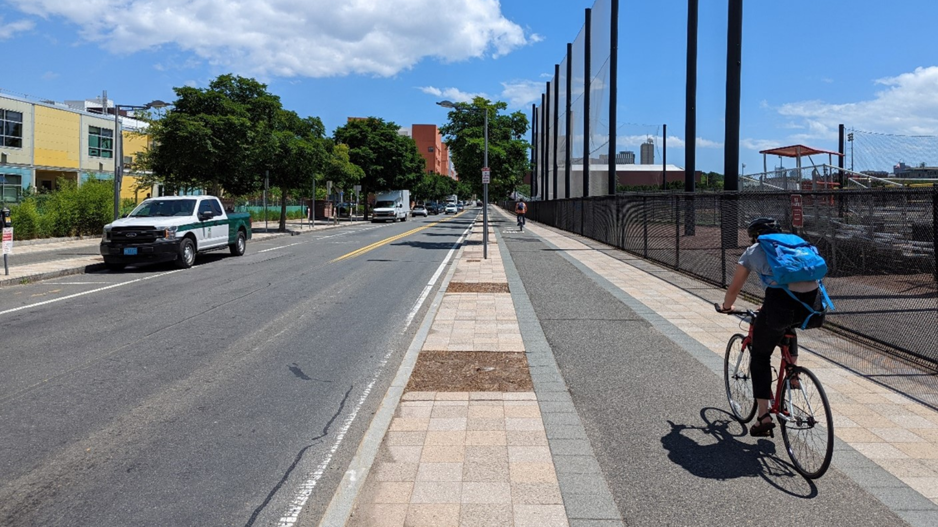
Building the Foundation for a Connected Active Transportation System
Work

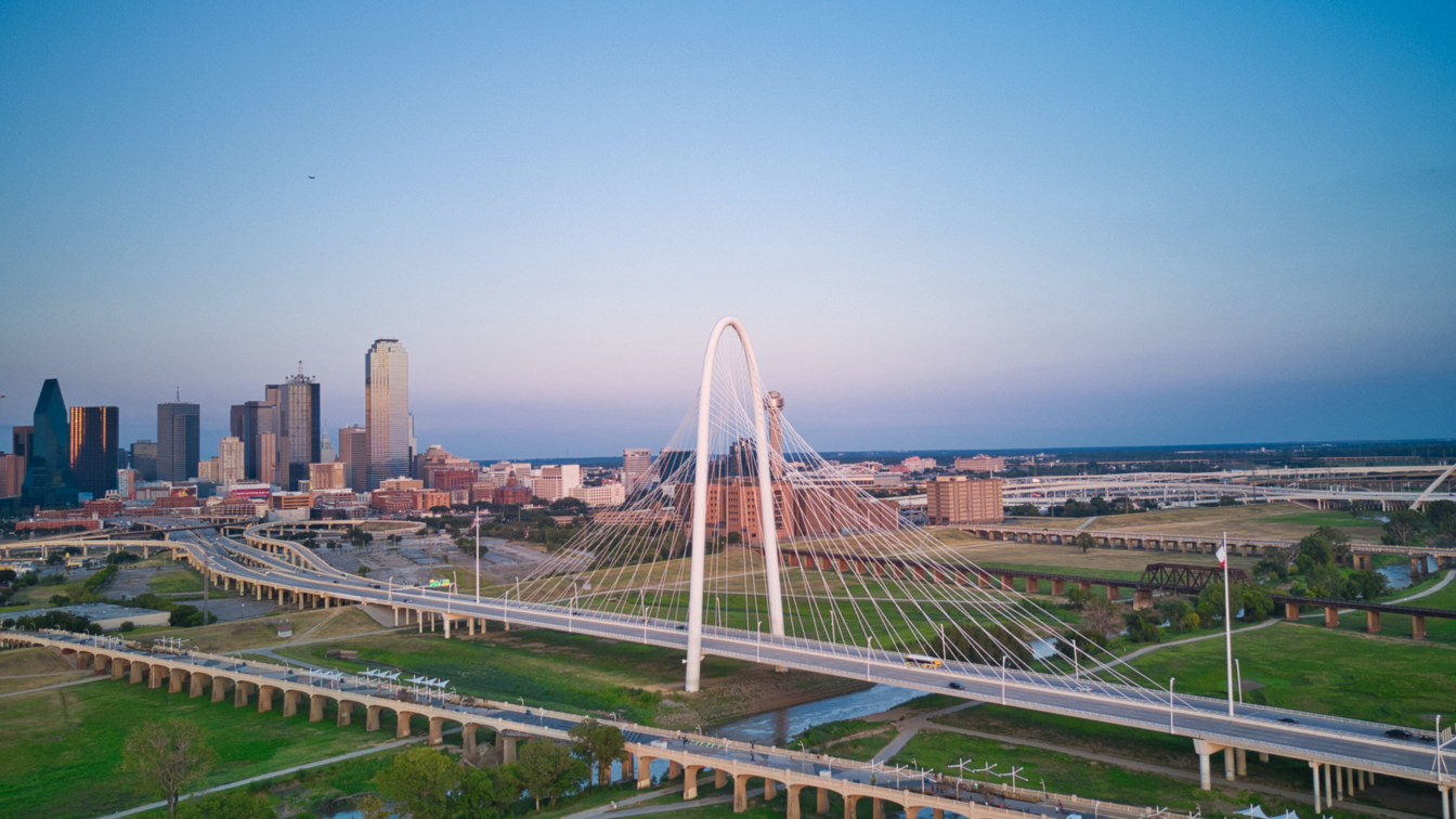
A Creative Solution to a Bridge Bottleneck
Work

Promoting Active Transportation Through Planning and Design in California
Work
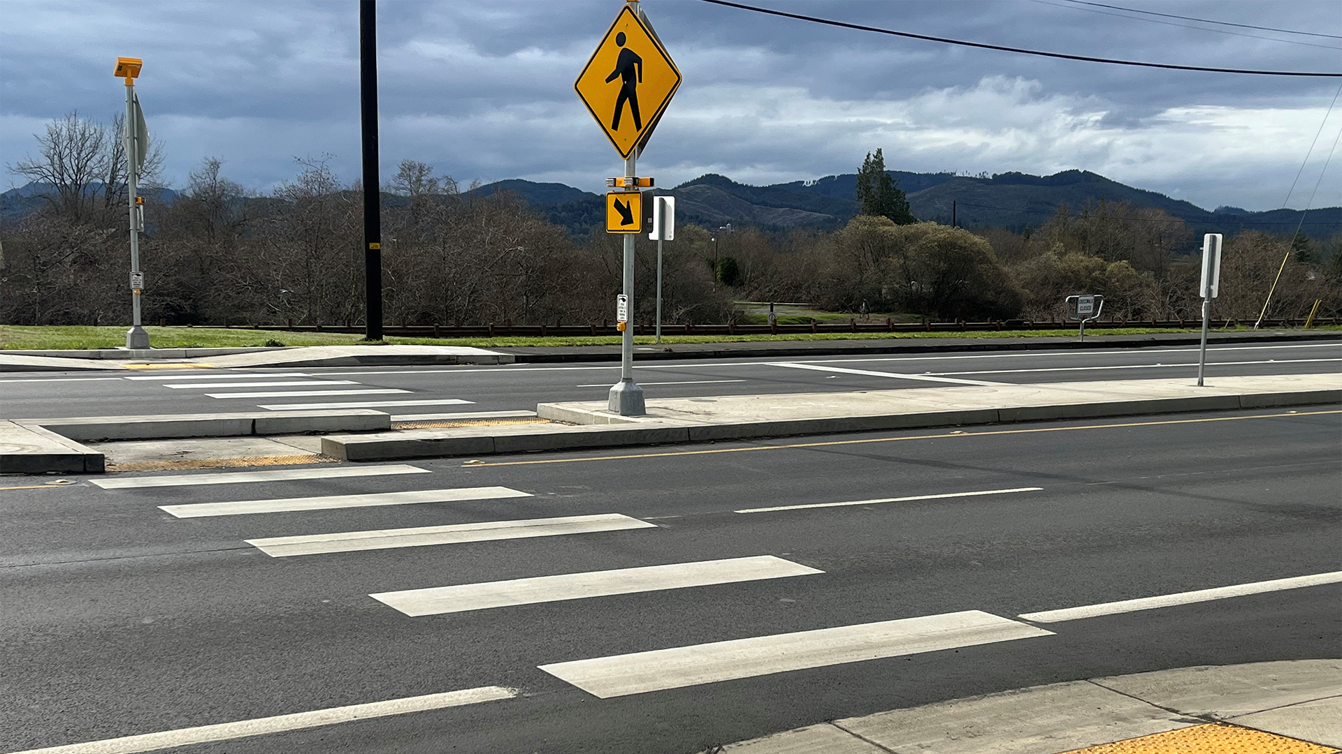
A Process to Prioritize Pedestrian & Bicycle Safety Improvements
Work

Using Today's Data to Plan for Tomorrow
Work
Setting the Stage for Emerging Technologies in North Central Texas
Work
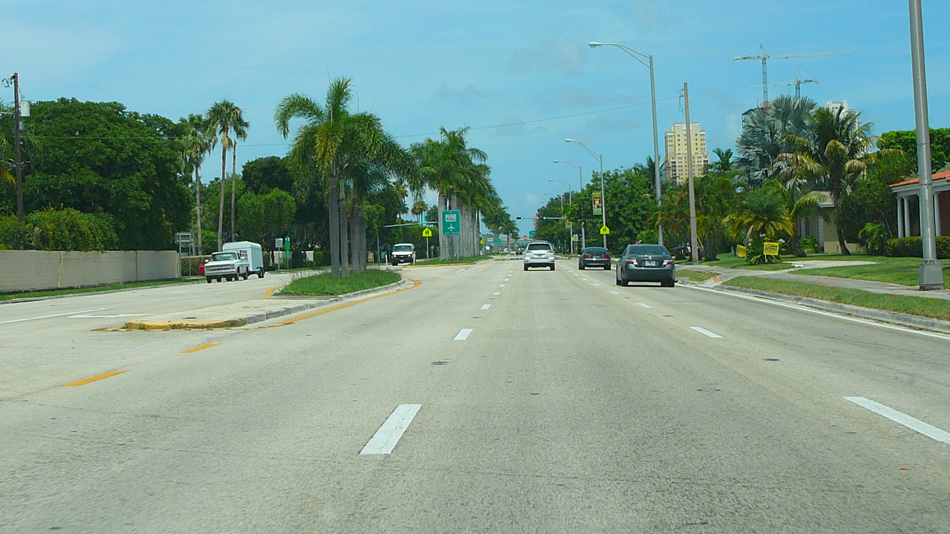
Telling the Story of Transportation in Florida
Work
A Plan to Make a 6-Lane Corridor More Community-Friendly
Work
The Highway Capacity Manual Goes Digital
Work
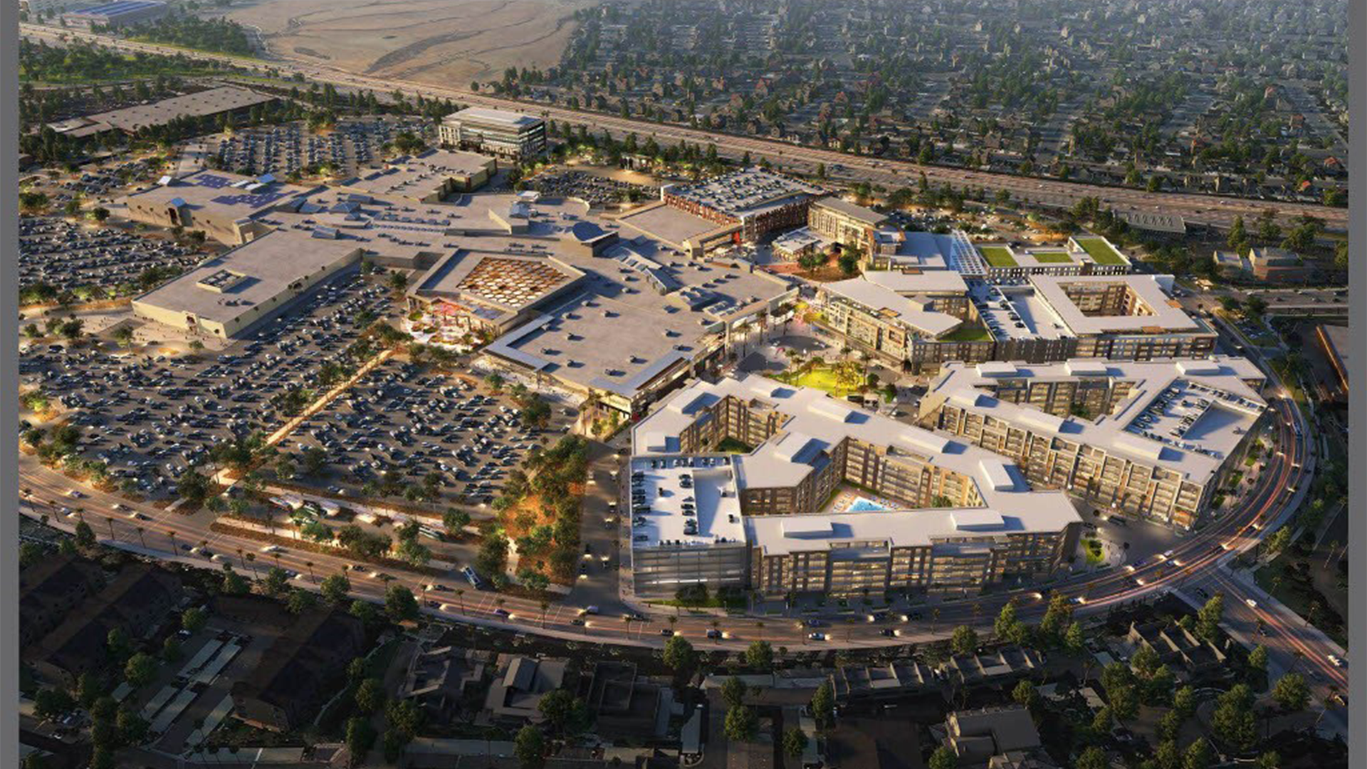
Improving Multimodal Circulation Around the Moreno Valley Mall
Work
Helping Communities Weigh Tradeoffs on their Streets
Work
Planning for More Efficient and Equitable Evacuations
Work
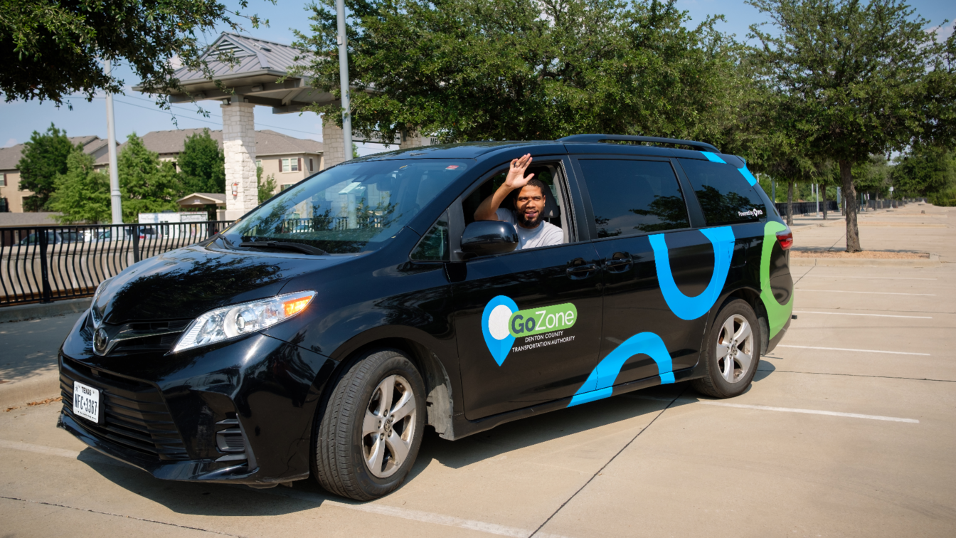
Quantifying the Benefits and Impacts of On-Demand Transit Service
Work
Bringing Intersection Control Evaluation to Sunny Southern California
Work

Traffic Control for Distracted Airport Drivers